field sites
Long-term research sites and field programs
Field Sites & Long-Term Research
The lab works in many places around the globe, but much of our field work has focused on three primary systems: (i) long-term dynamics within a tropical forest in the Area de Conservacion Guanacaste, Costa Rica; (ii) an elevation transect at the Rocky Mountain Biological Lab in Colorado; and (iii) a global network of Gentry forest plots across latitudinal and elevational gradients. We also co-organize an international Plant Functional Trait Course program.
(1) San Emilio Forest Dynamics Plot (SEFDP)
We organize a long-term forest dynamics plot in Santa Rosa National Park, Area de Conservacion Guanacaste — the largest and longest-running forest dynamics plot in the New World, now part of the ForestGEO global forest network.
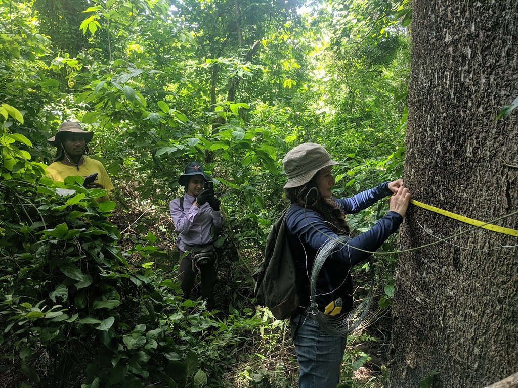
The SEFDP was originally censused in 1976 by George Stevens and Stephen Hubbell. All woody stems ≥ 3 cm diameter within a ~15 ha plot were measured and mapped. The plot was recensused in 1995–96, again in 2006–07, and most recently in a full resurvey in 2019–2021 (ForestGEO protocols, stems ≥ 1 cm). The plot contains approximately 50,000 individual trees of ~200 woody species. Research focuses on tree population dynamics, trait-based and ecophysiological approaches, and the influence of local soil and climate on forest change over nearly 50 years.

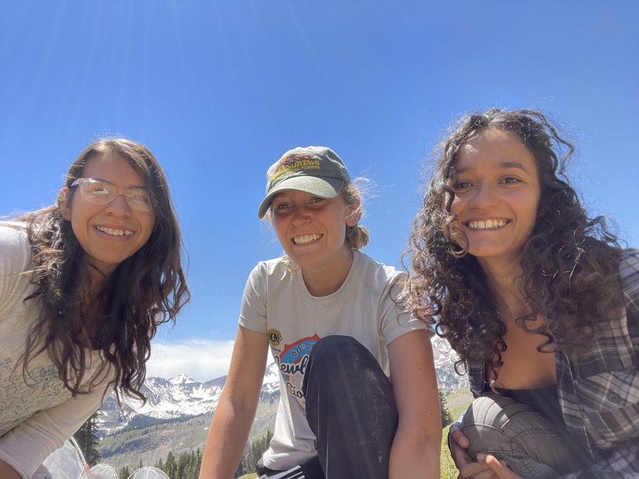
(2) Rocky Mountain Biological Laboratory (RMBL)
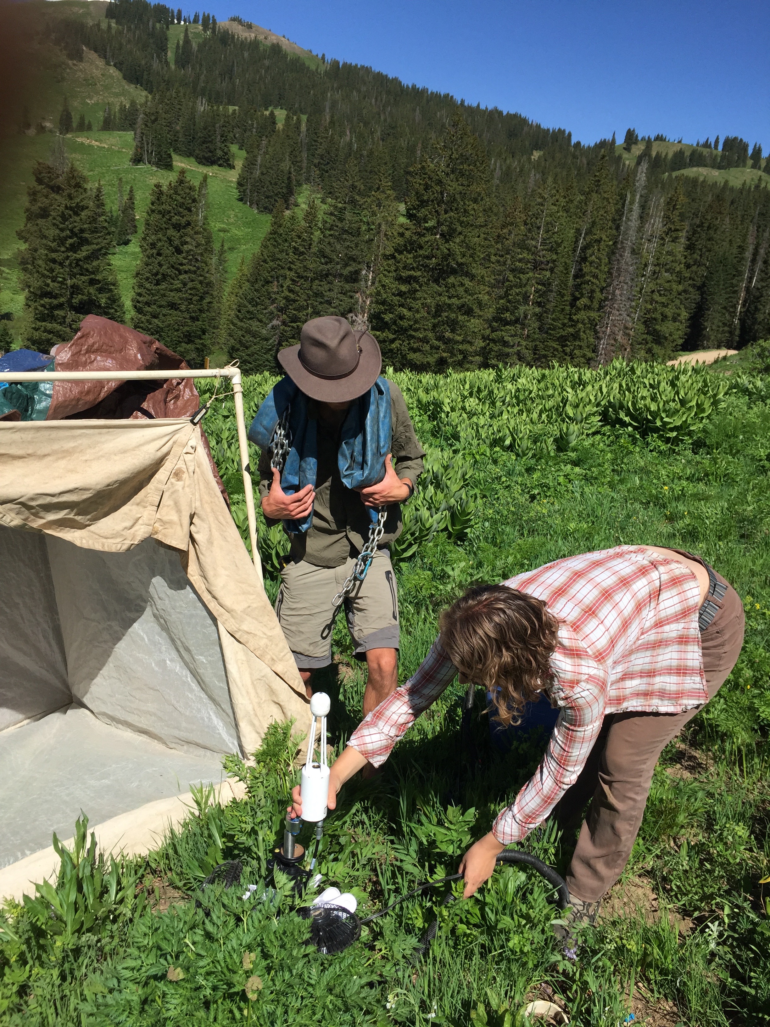
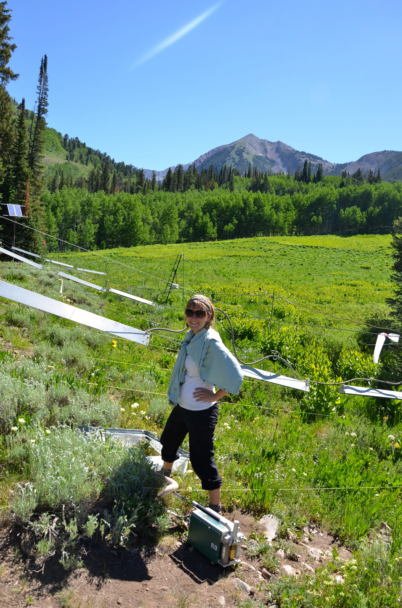
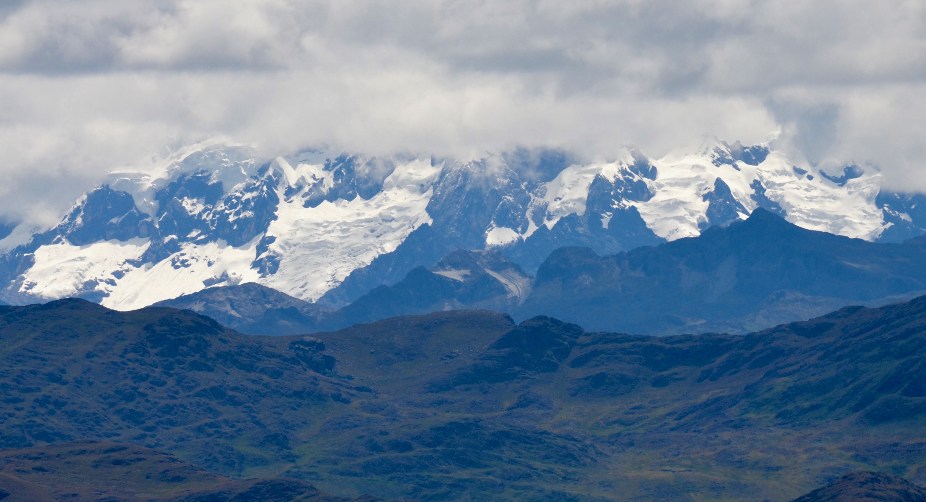
Since 2003 we have been monitoring ecosystem carbon fluxes, species composition and turnover, and phylogenetic and functional trait composition of montane to alpine plant communities across an elevational gradient in Gothic, Colorado. This long-term study forges links between physical environment variation (temperature and precipitation with elevation), functional trait composition, and whole-ecosystem carbon and water fluxes. The mountainous landscape at RMBL spans warm wet meadows to cold dry ridge tops, providing a wide range of physical and biological conditions ideal for testing scaling and trait-based theory.
(3) RMBL Transplant Project (Climate Change Experiment) & TransPlant Network
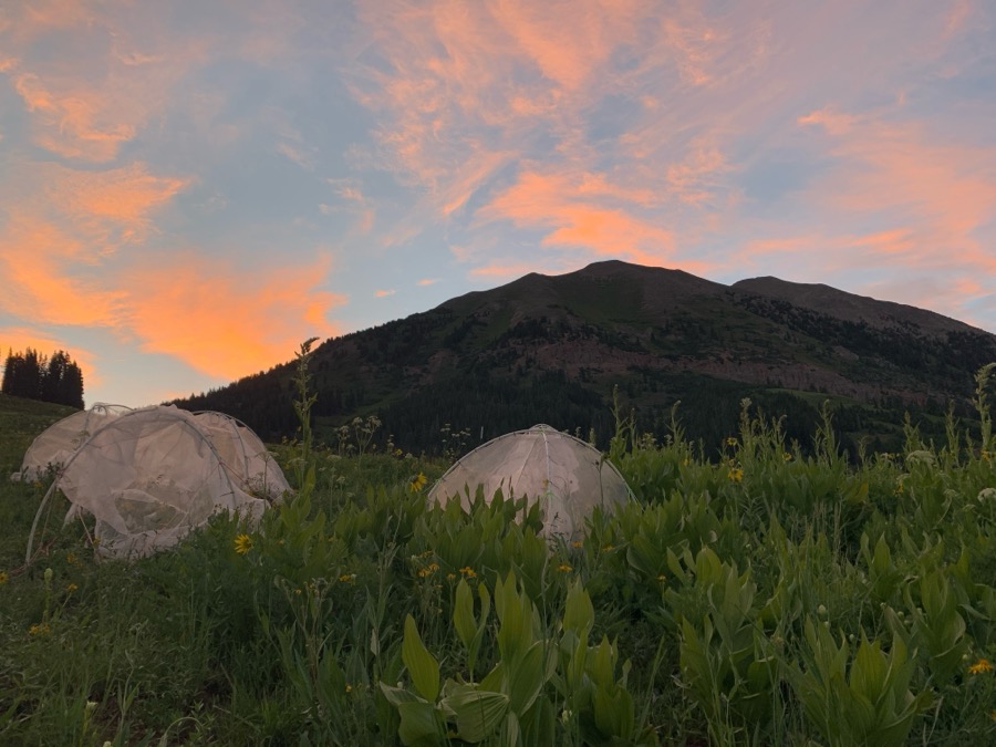
The RMBL Climate Change Experiment is a whole-community transplant experiment in the East River watershed near Crested Butte, Colorado. Beginning in 2017, intact 0.5 m² meadow turf blocks (plants plus soils) were moved up and down a ~400 m elevational gradient in Washington Gulch to simulate rapid climate shifts under controlled field conditions. This design allows direct tests of both climatic and biotic controls on plant communities by exposing intact community structure to warmer or cooler environments. Research integrates functional trait measurements, carbon and water fluxes, and species cover/height tracking to quantify community and ecosystem responses.
The RMBL experiment is part of the broader TransPlant Network — a coordinated network of 22 elevation gradients distributed across 20 different mountainous regions of the Northern Hemisphere, described in Bektas et al. (2024, Ecography). Across the network, whole plant communities (vegetation “turfs” or monoliths, including soil) have been transplanted to lower elevations to simulate the effects of climate warming. The basic design involves moving turfs from a higher, cooler origin site to a lower, warmer destination site, providing experimental warming treatments that complement passive warming approaches. Sites span high-latitude and high-altitude systems from Scandinavia to China to the Rocky Mountains, capturing a wide range of background climates and plant community types (see Fig. 1 below). The network enables rigorous tests of how climate warming restructures plant functional diversity, community composition, productivity, and ecosystem carbon balance across contrasting ecological contexts.
TransPlant network data and experiment-specific results can be visualized on the dedicated Shiny app: billurbektas.shinyapps.io/transplantshiny-1.

Fig. 1. The TransPlant Network: 22 elevation gradients across 20 mountainous regions of the Northern Hemisphere (A), and climatic position of origin (triangles) vs. destination (circles) sites in summer temperature — annual PET space (B). Panel colors indicate gradient; arrows show the direction of transplantation. Source: Bektas et al. 2024, Ecography.
Project details:
(4) Plant Functional Trait Courses (PFTC)
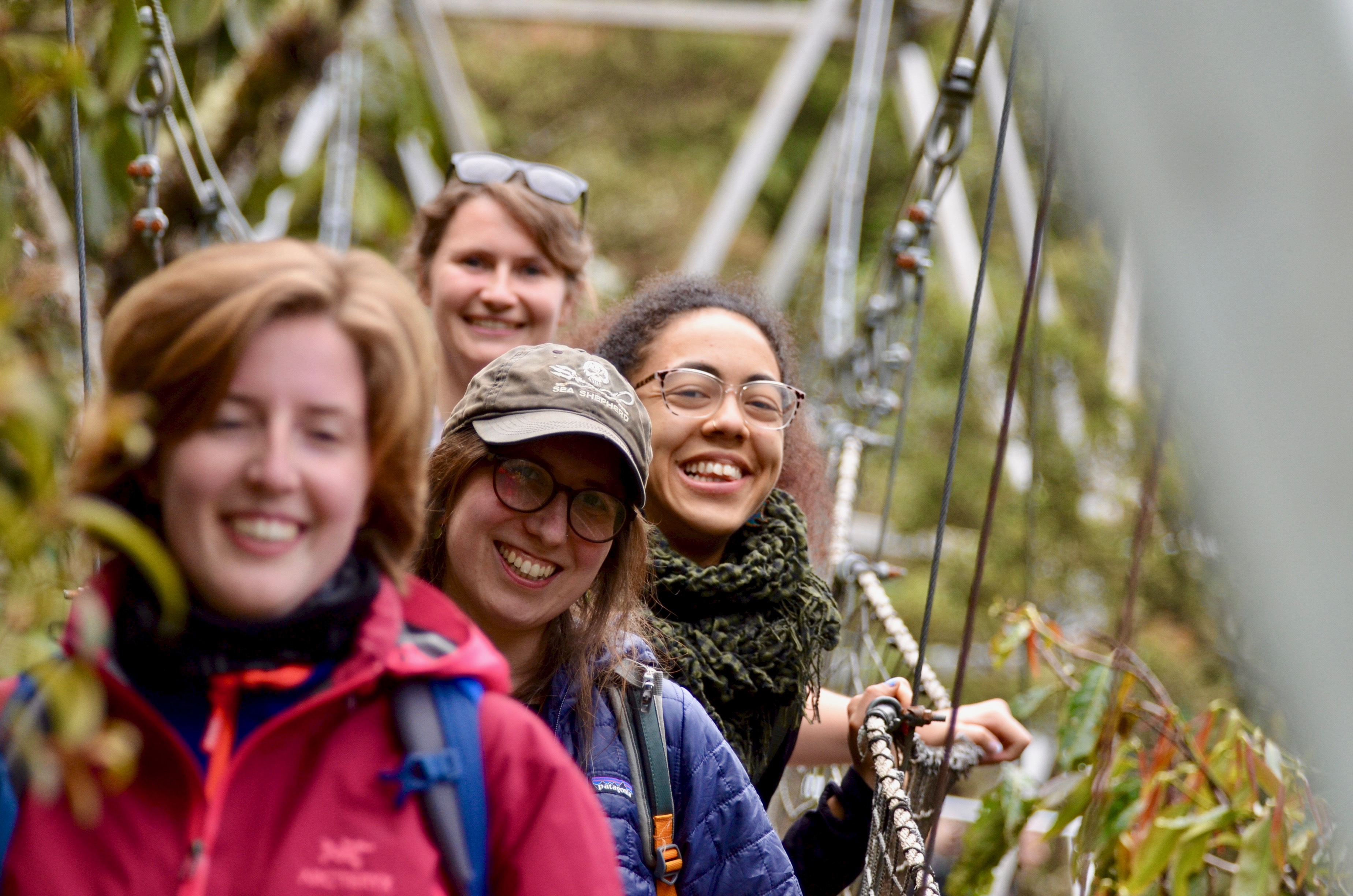
Our international Plant Functional Trait Courses offer hands-on training in trait measurement, data synthesis, and trait-based ecology within real-world field settings. Students plan and execute field research projects, collect and document plant functional trait data, and analyze results using trait-based approaches within climate change and ecosystem ecology. We work along elevational and climate gradients in Norway, Colorado (USA), Peru, China, and additional countries including Chile and South Africa.
Published PFTC Data Papers & Datasets
Peru Elevation Gradient (Puna Grasslands) Halbritter et al. (2024): “Plant trait and vegetation data along a 1314 m elevation gradient with fire history in Puna grasslands, Perú”. Scientific Data. Covers 14 functional traits, community composition, and ecosystem fluxes over three years. [GitHub: PFTC_Peru]
Norway Global Change Experiments Egelkraut et al. (2025): “Plant traits and associated ecological data from global change experiments and climate gradients in Norway”. Scientific Data. Includes trait, hyperspectral, and CO₂ flux data from alpine and boreal grasslands. [GitHub: PFTC_Norway]
Svalbard Arctic Study EnquistLab PFTC4_Svalbard: Dataset focused on eleven functional traits including leaf area, leaf dry matter content, specific leaf area, and nitrogen/carbon content. [GitHub: PFTC4_Svalbard]
China Elevation Gradient PFTC_1_2_China: Data from alpine elevation gradients, including experiments with open-top chambers (OTC) and plant transplants. [GitHub: PFTC_1_2_China]
South Africa Study PFTC7_South_Africa: Dataset including vegetation height, percentage cover (bare soil, rock, moss), and plant community composition. [GitHub: PFTC7_South_Africa]
(5) ABERG / CHAMBASA
Andes Biodiversity and Ecosystems Research Group (ABERG)
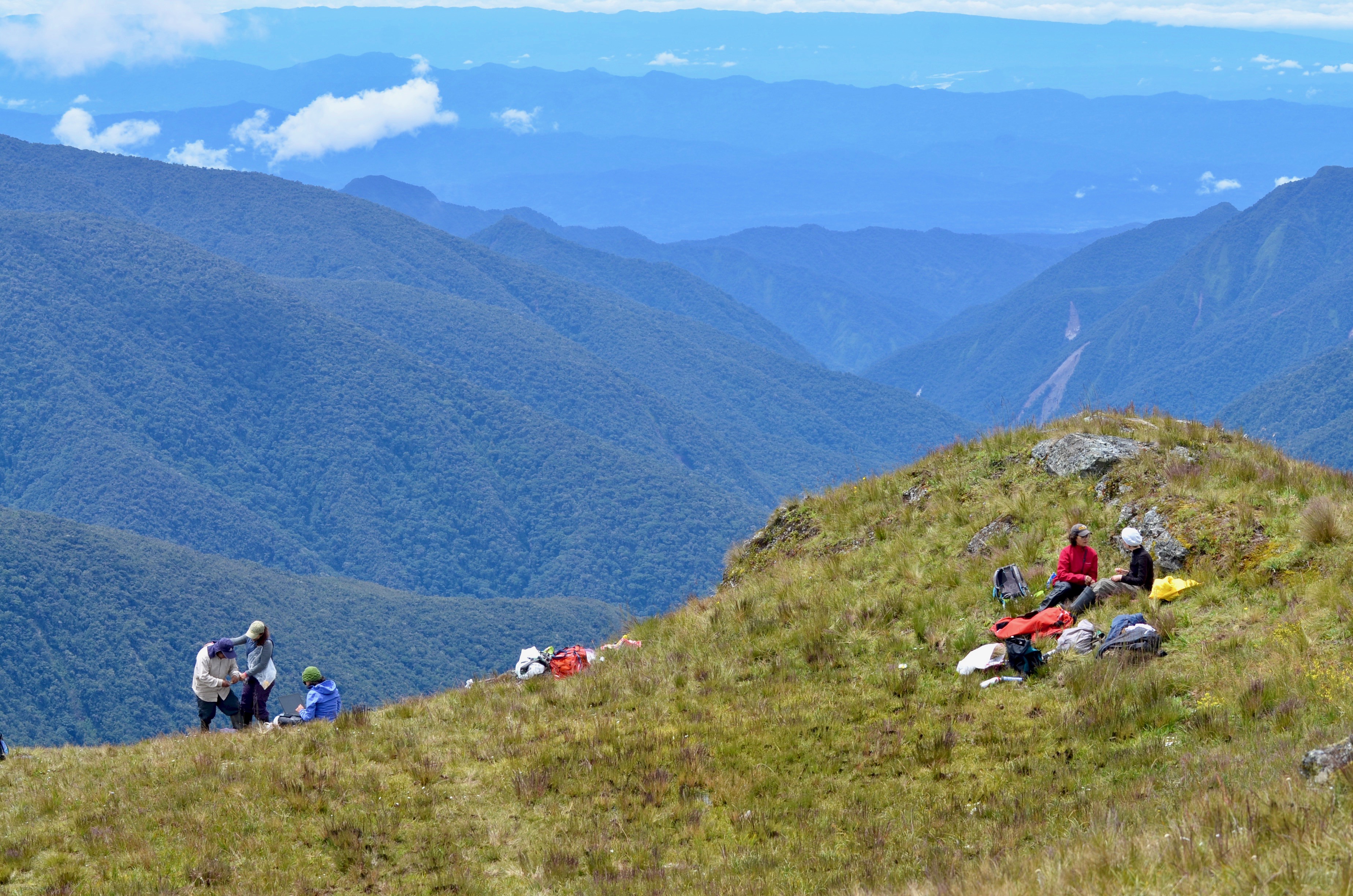
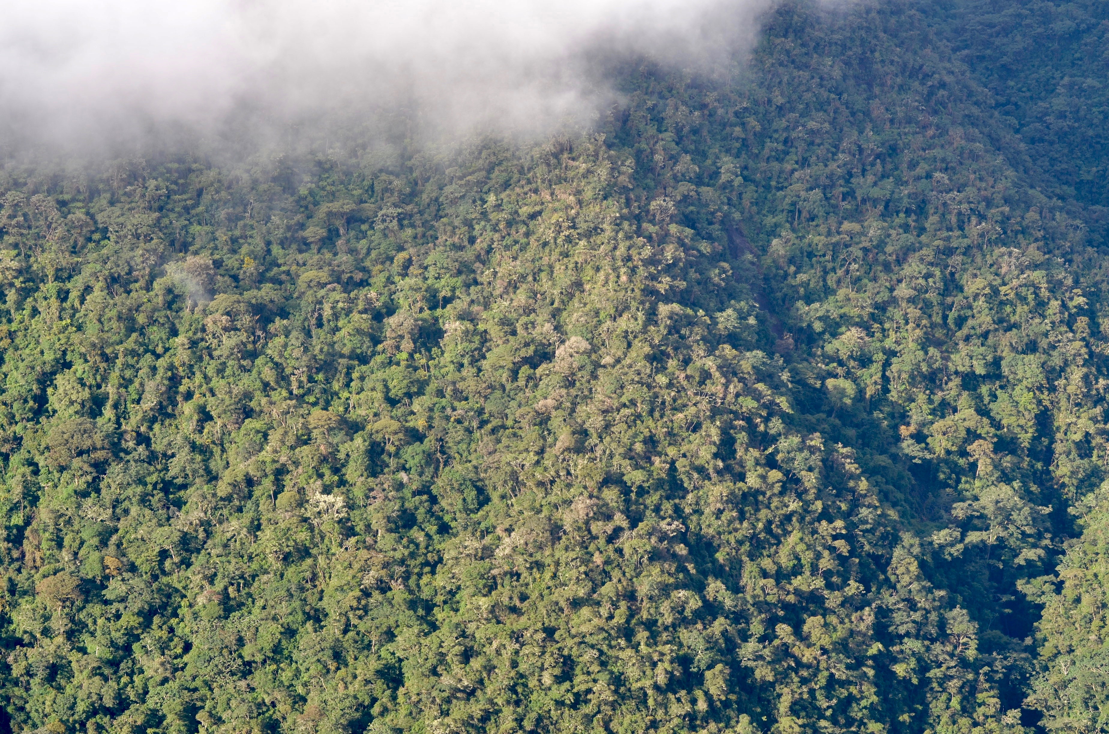
The Andes Biodiversity and Ecosystems Research Group (ABERG) is an international research consortium led by Miles Silman (Wake Forest University) dedicated to understanding how biodiversity, ecosystem function, and carbon stocks vary across one of the world’s most extraordinary mountain environments. Working through the Amazon Conservation Association and its network of permanent field stations, ABERG coordinates long-term biological inventories, process-based ecosystem monitoring, and conservation-relevant research across the eastern Andean slope of southern Peru. The core study area — the Kosñipata Valley in Madre de Dios / Cusco, within and adjacent to Manu National Park and Biosphere Reserve — spans nearly 3,500 m of elevation from lowland Amazonian forest (~400 m) through lower and upper montane cloud forest to puna grasslands (~3,800 m), traversing one of the steepest environmental and biodiversity gradients on Earth. The ABERG research community brings together ecologists, taxonomists, remote sensing scientists, and biogeochemists from universities across Peru, Europe, and North America. Brian Enquist’s lab at the University of Arizona is a long-standing core research partner, contributing trait-based, macroecological, and scaling analyses across the gradient.
CHAnging Montane Biodiversity And Structure Along the Andes (CHAMBASA)
The CHAnging Montane Biodiversity And Structure Along the Andes (CHAMBASA) program, led by Yadvinder Malhi (Oxford University), operates as ABERG’s primary ecosystem process and forest dynamics monitoring arm. CHAMBASA maintains a network of permanent forest census and functional trait measurement plots at key Amazon Conservation Association field stations across the transect, including Wayqecha (~3,000 m, upper montane cloud forest) and Villa Carmen (~580 m, premontane forest), with additional plots at San Pedro (~1,500 m), Trocha Union (~1,855 m), and Pantiacolla (~450 m) near the lowland Amazon. CHAMBASA plots are part of the Global Ecosystems Monitoring (GEM) network based at Oxford. At each site, researchers conduct standardized forest census (stems, diameter, height), leaf and wood functional trait measurement, and — in collaboration with Carnegie Institution scientists Gregory Asner and Roberta Martin — airborne hyperspectral imaging that scales plot-level trait distributions to landscape and regional extents.
Research across ABERG and CHAMBASA addresses how carbon stocks, net primary productivity, forest structure, and plant functional traits respond to systematic variation in temperature, cloud immersion, and solar radiation along the gradient. Key findings include: the dominant role of declining solar radiation (not temperature alone) in driving reduced forest productivity at higher elevations (Fyllas et al. 2017, Ecology Letters); the large-scale consistency of trait-based allometric scaling theory across a 20°C temperature span (Enquist et al. 2017, Global Ecology and Biogeography); remote sensing of canopy functional trait distributions from airborne hyperspectral imagery (Asner et al. 2017, New Phytologist; Durán et al. 2019, Science Advances); the predicted darkening of tropical forest leaves under climate change (Doughty et al. 2018, Nature Climate Change); and the structural and defensive roles of leaf venation networks along the gradient (Blonder et al. 2017, Ecology). Since 2018, the monitoring network has extended into the puna ecosystem above tree line in collaboration with the Plant Functional Trait Courses (PFTC) program.
Key collaborators include Norma Salinas and Walter Huaraca Huasco (UNSAAC, Cusco), Sandra Díaz (CONICET), Lisa Bentley (Sonoma State), Alexander Shenkin (Oxford), Benjamin Blonder (UC Berkeley), Gregory Goldsmith (Chapman), and Christopher Doughty (Northern Arizona University).
(6) Forest MacroSystems Network
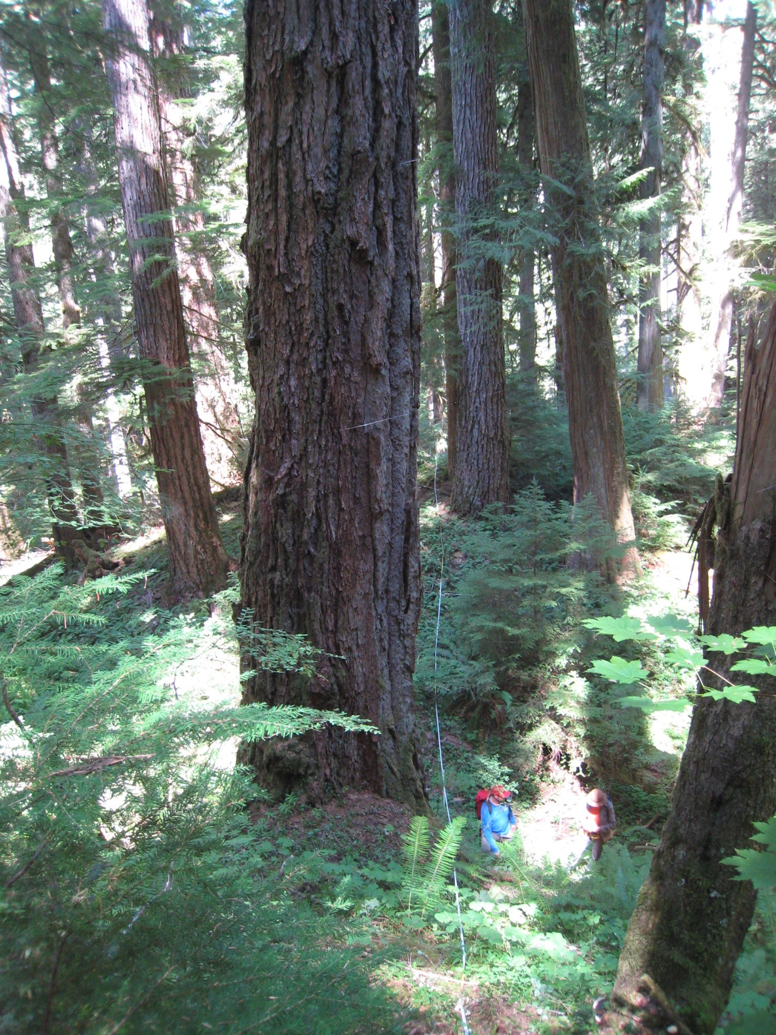
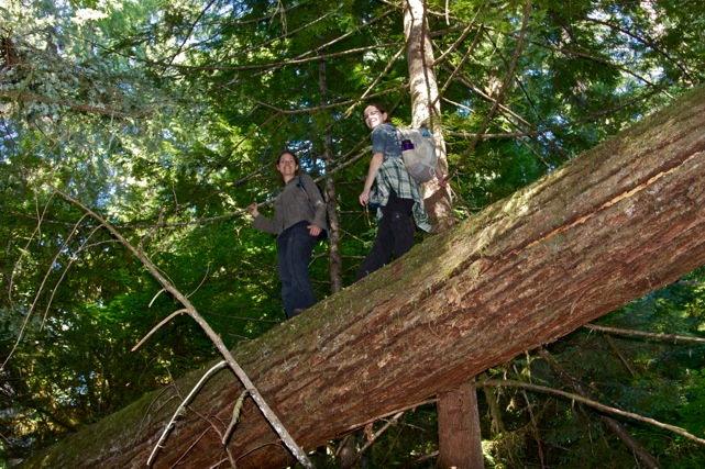
The Forest MacroSystems Network consists of nine forest monitoring sites arrayed across a broad latitudinal climate gradient. Since 2011 we have been monitoring annual tree growth and mortality using standardized Gentry-style plots. Sites span: BCI Panama · Luquillo Puerto Rico · Guanacaste Costa Rica · Coweeta North Carolina · Harvard Forest Massachusetts · Niwot Ridge Colorado · Mt. Lemmon Arizona · HJ Andrews Oregon · British Columbia Canada.
For access to data from these sites, contact the lab or visit biendata.org.